Fire Line Trail #118
Superstition Wilderness, Arizona
An out-and-back in Superstition Wilderness, Tonto National Forest, 17 mi round trip.
It gains 2,110 ft in the first 6.8 mi to a high point at 5,490 ft, then drops 600 ft to its end at 4,890 ft; that drop is more elevation gain on the way back.
The steepest stretch is between 5.4 mi and 5.9 mi from the trailhead, gaining 560 ft.
The trailhead is about 16.1 mi north of Superior in a straight line.
Described from the map and elevation data.
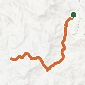
See the trail on the map, download it for offline use and record your hike. The iPhone and Android apps are on their way.
Before you go: trail information can be out of date or wrong, and a trail may be closed or on private land. Check current conditions with the land manager. You hike at your own risk. Full notice
On this hike
- Rivers and creeks on this hike: Campaign Creek, Pine Creek
Elevation profile
Nearby trails
- Reavis Gap Trail #1176.3 mi · Hard · same trailhead
- Campaign Trail #25619.8 mi · Strenuous · same trailhead
- Tule Trail #12210.4 mi · Strenuous · 4.6 mi away
- Bull Basin Trail #27011.4 mi · Strenuous · 6.3 mi away
- West Pinto Creek Trail18.7 mi · Strenuous · 6.3 mi away
- Cuff Button Trail #27615.8 mi · Strenuous · 6.3 mi away
Camping nearby
- Grapevine Group Campground8.3 mi from the trailhead
- Schoolhouse Campground (AZ)9.5 mi from the trailhead
- Windy Hill Campground9.6 mi from the trailhead
- Burnt Corral Campground9.7 mi from the trailhead