Daniel Webster Trail
White Mountain National Forest, New Hampshire
An out-and-back in White Mountain National Forest, 6.5 mi round trip.
It gains 3,570 ft over 3.3 mi, from 1,250 ft at the trailhead to 4,830 ft.
The steepest stretch is between 2.6 mi and 3.1 mi from the trailhead, gaining 1,040 ft.
The trailhead is about 10 mi south of Berlin in a straight line.
Barnes Field Campground is within 2 mi of the trailhead.
Described from the map and elevation data.
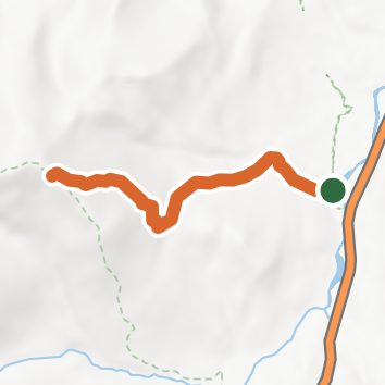
See the trail on the map, download it for offline use and record your hike. The iPhone and Android apps are on their way.
Before you go: trail information can be out of date or wrong, and a trail may be closed or on private land. Check current conditions with the land manager. You hike at your own risk. Full notice
Elevation profile
Nearby trails
- Imp Trail11.8 mi · Strenuous · 0.2 mi away
- North Carter Trail8 mi · Strenuous · 0.5 mi away
- Great Gulf Trail13.2 mi · Strenuous · 1.0 mi away
- Osgood Trail5 mi · Hard · 1.0 mi away
- Nineteen Mile Brook7.2 mi · Hard · 1.6 mi away
- Pine Link9.6 mi · Strenuous · 2.0 mi away
Camping nearby
- Dolly Copp0.5 mi from the trailhead
- Barnes Field Campground0.9 mi from the trailhead
- Osgood Tentsite2.1 mi from the trailhead
- Valley Way Campsite3.4 mi from the trailhead